
Is Your Land Sitting in the Path of DFW Growth?
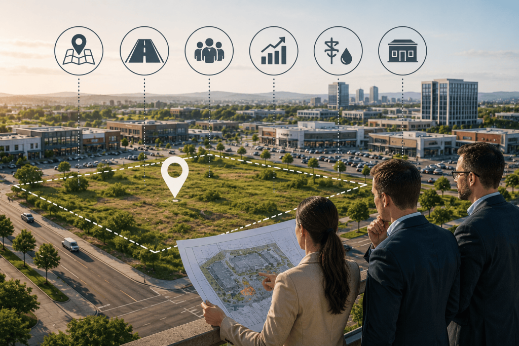
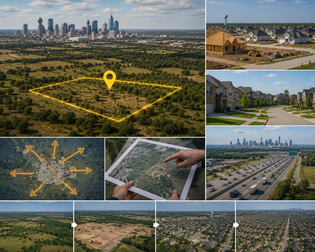
Some of the most valuable land in North Texas is still being taxed as farmland. The people who own it often don’t know what they’re sitting on — until someone else figures it out first. Here’s a thing that happens regularly in the Dallas-Fort Worth orbit. A family has held a piece of land for a generation or two. Maybe it’s fifty acres in Collin County, maybe it’s a hundred and twenty in Denton County. They’ve kept the agricultural exemption, they farm it or lease it for grazing, and they think of it as farmland because that’s what it’s always been. Meanwhile, the highway they’ve driven past for twenty years just got widened. A school district boundary that used to end two miles away now includes their property. A homebuilder they’ve never heard of quietly bought the five hundred acres to the east. And a broker they’ve also never heard of is going to call them in the next six months with an offer that will reframe everything they thought they knew about what they own. This is the DFW land development story told at the individual property level. Not the macro narrative about Texas growth — the specific story about a piece of ground and the moment when its relationship to growth changes. This post is about how to recognize that moment before someone else recognizes it for you. What “Path of Growth” Actually Means The phrase gets used loosely. Every Texas landowner within a hundred miles of Dallas has heard that their land might be “in the path of growth.” Some of it is. Most of it isn’t — at least not yet, and possibly not within any planning horizon that’s relevant to current decision-making. Path of growth land has a specific meaning in development practice. It’s not just land that’s near a growing area. It’s land that a developer, homebuilder, or commercial operator will need in a defined timeframe because confirmed demand is moving toward it through confirmed infrastructure. The combination of both elements — demand and infrastructure — is what creates the development path. Either one alone doesn’t. Land near a growing area but without infrastructure serving it is speculative land. It might appreciate. It might not. Land in a confirmed infrastructure corridor with demonstrated demand behind it isn’t speculative in the same way — it’s early, but it’s directionally clear. That’s what serious investors are looking for, and it’s what distinguishes a development path from a hope. “The difference between land in the path of growth and land adjacent to growth is the difference between early and too late. Both can look the same on a map.” The DFW Growth Corridors in 2026: Where the Development Path Is Moving The DFW growth corridors have extended significantly over the past decade, and the picture in 2026 is meaningfully different from even five years ago. The inner ring suburbs have largely been absorbed — Plano, Frisco, Allen, McKinney, Flower Mound. These are mature markets. The development path has moved outward. The Northern Corridor: Collin and Grayson Counties North along US-75 and US-380, the growth corridor has pushed through Celina and is moving toward Gunter, Van Alstyne, and Sherman. Celina’s population has grown faster than almost any city in Texas in recent years, and the infrastructure investment following that growth — roads, schools, utilities — is now creating development pressure in the adjacent communities that were still agricultural just three years ago. The question in this corridor isn’t whether development will arrive — it’s when, and which specific parcels are in the immediate path versus adjacent to it. The Western Corridor: Denton and Wise Counties West along US-380 and FM 455 from Denton toward Ponder, Krum, and the communities approaching Decatur from the east, the western corridor is earlier in its development cycle than the northern one. Infrastructure is arriving but hasn’t fully arrived. Which means land pricing here still partially reflects agricultural value rather than fully priced-in development value — the window that earlier-stage investors are trying to capture. The widening of US-380 through this corridor is the signal that transforms its timeline from speculative to credible. The Southern Corridor: Ellis and Johnson Counties South of Dallas along I-35E and US-287, the communities of Waxahachie, Midlothian, Ennis, and Corsicana are absorbing growth spillover from the saturated Dallas and Cedar Hill suburban markets. Midlothian in particular has seen significant industrial and residential development activity. The southern corridor benefits from both the push factor of DFW pricing pressure and the pull factor of the Toyota Motor Manufacturing complex and associated supplier development that has anchored industrial demand in the region. How to Tell If Your Land Is Actually in the Path Knowing the broad corridors is one thing. Knowing whether your specific parcel is in the development path is a more granular question that requires looking at several specific signals simultaneously. Signal One: What’s Happening to Your Immediate Neighbors Deed records are public in Texas, and county appraisal district websites allow property lookups by address or owner. If the parcels immediately adjacent to yours have recently changed hands — particularly to entities that aren’t individuals and don’t appear to be agricultural operators — that’s a meaningful signal. Homebuilders and developers typically assemble land in stages, and they don’t announce what they’re doing until they’re ready to. By the time there’s a public announcement, the option contracts and acquisitions have usually been happening for a year or more. A significant change in adjacent ownership composition is one of the earliest signals available to nearby landowners. Signal Two: Infrastructure Investment Trajectory TxDOT publishes its statewide transportation improvement program — the list of planned road projects with funding, timelines, and locations. This is public information. If your land sits within two to three miles of a road project that is funded, permitted, and scheduled, you are in a confirmed infrastructure corridor. The same applies to water utility expansion plans from municipal utility districts and rural water supply corporations, which are often